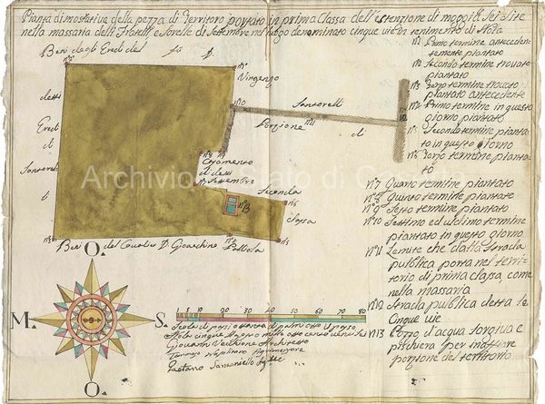
From the Terra di Lavoro Intendancy fonds (Intendenza di Terra di Lavoro) - 1826.
Map of private agricultural land near Nola from the Bourbon Intendancy - 1826.
The delineation of plots belonging to different owners was typically marked with stakes, trees, or rocks. The map is drawn to a "scale of eighty steps of eight palms each step."


